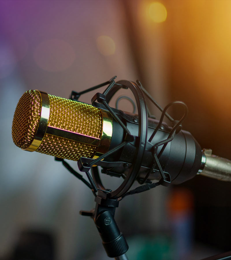

#femalevoice #girlpowervo #thatswhatshesaid Buffy O’Neil is heard all over the world on Television Commercials, Radio Commercials, Radio Imaging, Narrations, Web Videos and even On Hold. Whatever the project, Buffy delivers top notch VO!
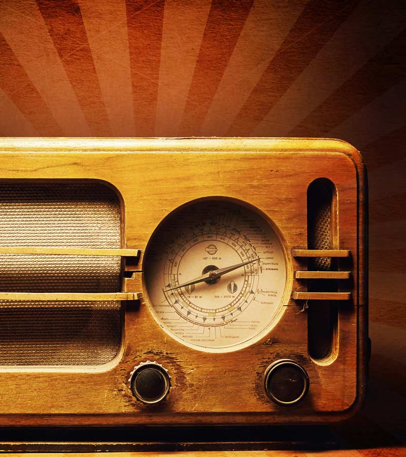
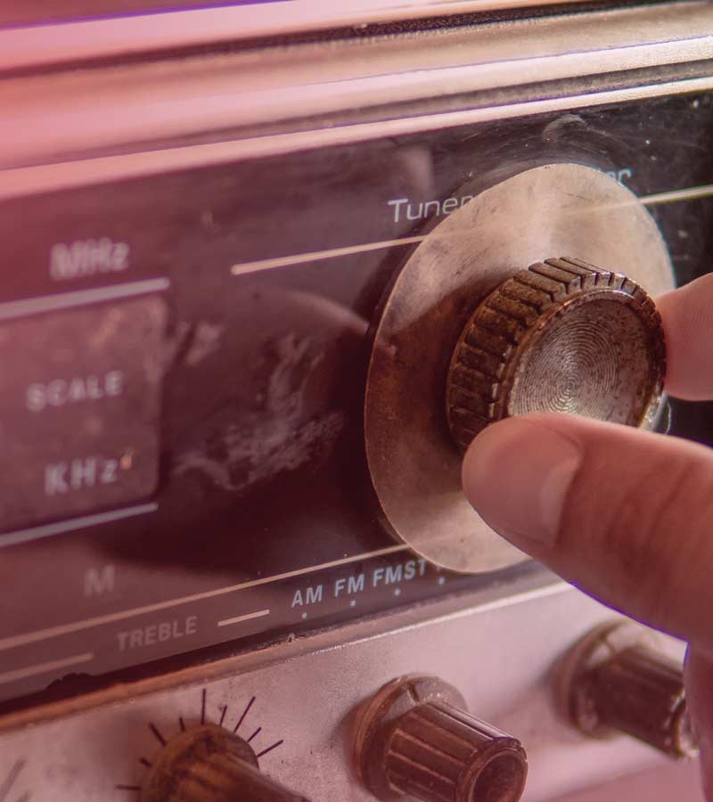
Radio Imaging
When it comes to Radio Imaging Buffy O’Neil is a well seasoned, experienced pro! Her voice overs brand radio and internet stations across the globe. Her fresh, energized and unique sound truly cuts through the clutter to deliver your message with a punch! Pair that with super-fast turnaround time and you’ve got a winner.